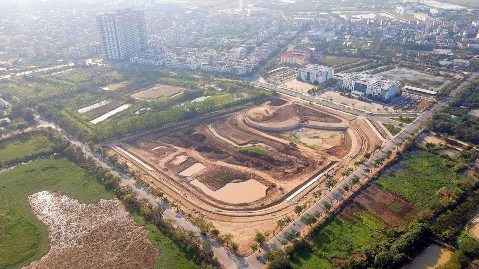
Accordingly, the scope of research for local adaptation of detailed planning covers an area of approximately 2,199 m². The northeast borders the planned street (B=11m); The southeastern side borders the proposed site of the Gia Lam People's Court District Headquarters; The southwest borders the planned site for the headquarters of the Gia Lam District People's Procuratorate; The northwest borders the existing Trung Thanh road (W=30m).

The adjusted goal is to concretize the general planning for capital construction by 2030 with a vision for 2050; The urban subdivision plan N11 on a scale of 1:5,000 was approved by the responsible authorities. Implement the policy approved by the City People's Committee in accordance with the project investment scope assessed and approved by the judiciary. They serve as a legal basis for determining construction investment projects according to approved planning and allow administrative authorities and local authorities to manage construction in accordance with legal regulations.
The planning adjustment is carried out according to the principle of maintaining the boundary, the area size and the land use function, according to the local adjustment of the detailed planning on both sides of the Doc Hoi Route – University of Agriculture 3 Nong, ratio 1/500 in the property symbol CCKO1 has been approved; Adjust architectural planning criteria (construction area, construction density, building height, land use coefficient) and organize landscape architectural space in plots while maintaining the same surrounding technical infrastructure network, without affecting the transportation network, general technical infrastructure system, etc. social infrastructure in the region.
Pay attention to national technical regulations and special design standards. Other content that is not part of the scope of the project will be maintained in accordance with the plans approved by the relevant authorities and the relevant applicable legal regulations.
According to the local adjustment project of detailed planning on both sides of Doc Hoi Street – University of Agriculture, the scale is 1/500 at the plot symbol CCKO1 (including 03 plots: CCKO1.1, CCKO1.2 and CCKO1). 3) was approved by the City People's Committee with Resolution No. 2099/QD-UBND dated May 11, 2021; It stipulates that the land with the symbol CCKO1.2 will be used as public land in a residential area (headquarters of the Gia Lam District Civil Court Enforcement Department) with an area of 2,199 m², with the following planning criteria: building density 28%; land use coefficient 0.89 times; The building height is 1-6 floors.
The boundaries, area and usage functions of the CCKO1.2 property remain unchanged in accordance with the approved detailed planning; Adjust the organization of the landscape architectural space and the architectural planning criteria on the property according to the following content: land area 2,199 m2, with planning criteria: building density 29.3%; land use coefficient 0.46 times; Building height: 1 – 3 floors.
